


We have much more to do and your continued support is needed now more than ever.
Guest Post: It’s Still the Mighty River
This post was written by Amanda Moore, NWF’s Coastal Louisiana Organizer in New Orleans.
I have to admit, I was terrified to visit the overflowing banks of the Mighty Mississippi this week. Not knowing what to expect (no one alive can remember the Mississippi delta at this flood stage), my two-hour preparation meeting had me fretting for my very survival.

But nightmares and warnings of snakes, alligators, and a current that could sweep you off your feet at a 6-inch depth couldn’t keep me away from this trip. Why? Because this was my shot at seeing the river work—this was my shot at seeing the process that built the rich ecosystem of southeast Louisiana and the land on which the city of New Orleans lies. Though it didn’t help that as we soldiered out to the flooded marsh, seasoned oil field workers watched us from a muster station perched 20 feet in the air, yelling, “Watch out for the snakes!”
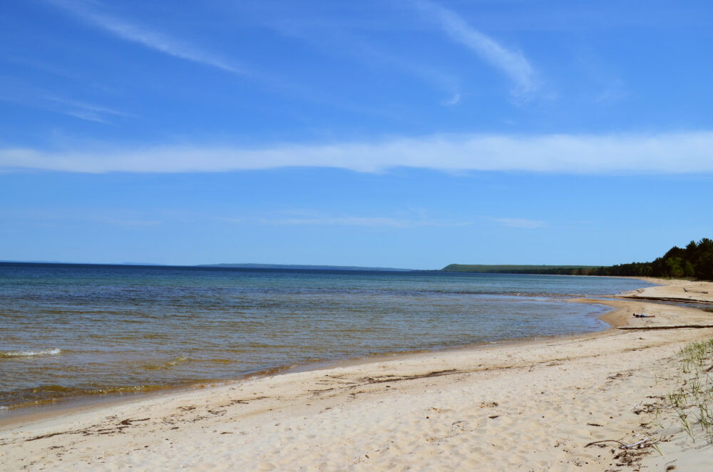
With all of the artificial levees lining the river banks, I was out to explore a 10-mile stretch south of New Orleans where only a natural ridge separates the river from the marsh. As you might imagine, it is overtopping at this moment and the muddy river water (critical freshwater and sediment for the marsh) is inundating the adjacent wetlands. I went with an important purpose: to help a team of scientists collect data to better understand the deltaic process of land-building and marsh nourishment. This is a critical concept to understand, as we’re losing about a football field of the delta every 38 minutes largely due to mismanagement of the river.
I survived and it was well-worth the bravery. I did see a snake, but we also saw just what the scientists had hoped to see—a transformed landscape with water steadily flowing over large swaths of marshland. The team, scientists from NWF’s local partner organization, Lake Pontchartrain Basin Foundation, have closely studied this unique stretch of river for years. As we waded knee-deep in the flood, we collected data like flow rates, depth, salinity, and turbidity (how much sediment is in the water). At the end of the day, we visited an old trapper’s canal that the scientists had previously named “Ezra’s Gully” after a team-member. The canal is about a quarter-mile long and stretches from the river to the marsh. As we approached from the marsh end, everyone was shocked to see whitewater rapids pouring out of what is typically a dry or muddy canal. We disembarked from the boat and surveyed an area that I would have sworn was somewhere in the Appalachian Mountains if I didn’t know better. Streams of cool water rushed by through the shade-covered banks and we all sat and stared in amazement. “It’s like a time machine,” said one of the scientists who has studied Louisiana wetlands for decades.
The great thing is, the Mississippi is still mighty and we can restore the process that created and sustained this treasured part of America. Reconnecting the river to the wetlands can help save Louisiana’s coast and protect communities and wildlife that call it home.