
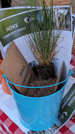


We have much more to do and your continued support is needed now more than ever.
Motion maps track spread of Asian carp and invasive mussels
Motion maps of Asian carp and invasive mussels’ spread across the U.S created by NWF and the U.S. Geological Survey dramatize as never before their meteoric invasion.
Watch Asian carp spread across the country. Then, see how invasive mussels traveled to California.
In less than 30 seconds, one map traces the spread of Asian carp from a pond in Arkansas in 1975 to 23 states and counting today. In less than 20 seconds a second map shows how Zebra and quagga mussels spread from ballast water dumped in Lake Erie in 1986 to all the Great Lakes, two Canadian provinces and33 states in the U.S.
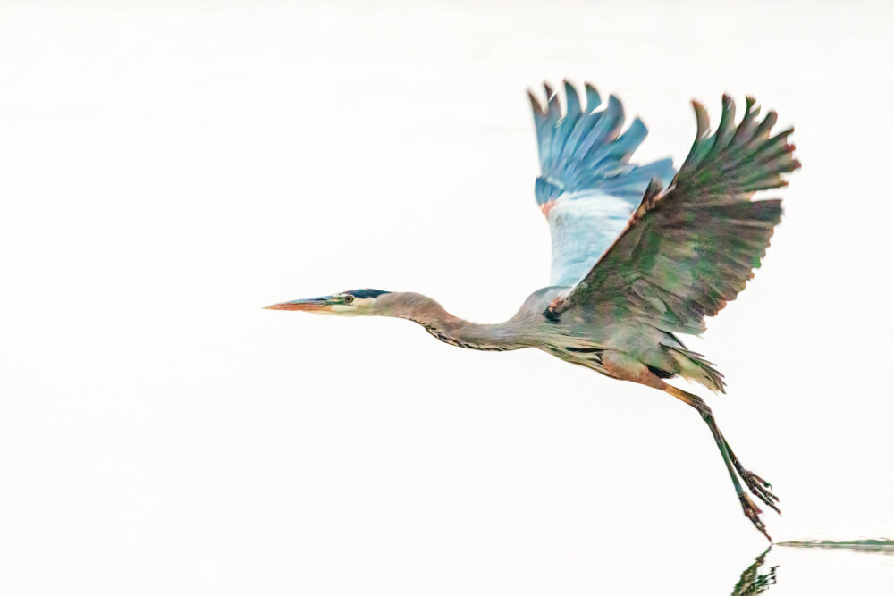
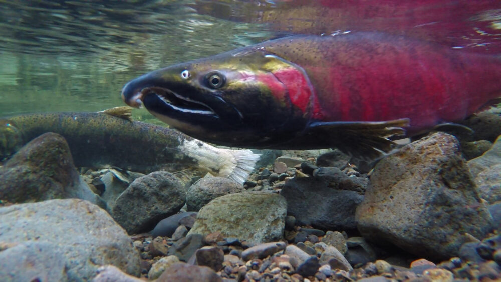
Asian carp, zebra and quagga mussels are all filter feeders. They strip the ecosystem of food that many fish depend on to survive. Zebra and quagga mussels are causing the population of many fish in the Great Lakes to plummet. Add the voracious Asian carp to the mix, and most native fish in the Great Lakes could starve.
These maps enable us to visualize just how quicky invasive species can move once they get loose. A flimsy elecric barrier is all that stands between jumping, jumbo-sized Asian carp and the Great Lakes. But it’s not just the Great Lakes that are in jeapardy. Zebra and quagga mussels spread from the Great Lakes to infest most of the U.S.
It is imperative that we reestablish the separation between the Great Lakes and Mississippi River Basins so that destructive invasive species like Asian carp, zebra and quagga mussels do not spread between them, engangering wildlife and degrading habitat forever.