We have much more to do and your continued support is needed now more than ever.
A Storm of Controversy Over A Hurricane Protection Plan in Texas

More than six million people call the greater Houston metro area home. The busy Houston Ship Channel supports the nation’s largest petrochemical complex. If a powerful hurricane made landfall here, the consequences for people and wildlife could be catastrophic. Increased storm protection for the Houston-Galveston region is a no-brainer.
So why has a proposed plan to protect this nationally important area set off a firestorm of controversy and protests from local residents?
The answer is that this plan would forever change how Galveston Bay looks and functions—and the details of those changes are not well understood. Here are seven questions locals are raising about the $31 billion federal-state storm surge proposal, often called “the coastal spine:”
How would it affect fish and wildlife?
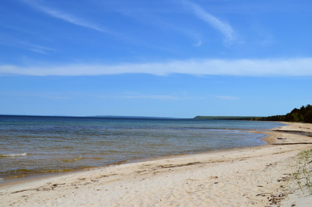
Galveston Bay is not just important for industry. What makes Galveston Bay an ecological powerhouse is the diversity of habitats in the 600 square miles created where fresh water from the Trinity and San Jacinto rivers mixes with the saltier waters of the Gulf. This ever-changing mixture of fresh and salt water is critical for many species of coastal fish and crustaceans at the base of the food chain.
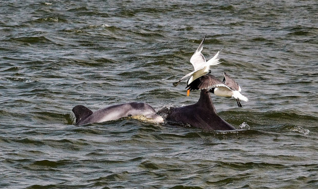
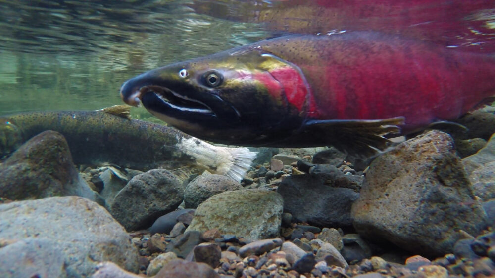
To give just one example: Redfish spawn in Gulf waters near the coast, often near tidal passes. The larvae are then carried into fresher areas of the bay by tidal currents. This process unfolds between August and October—the heart of hurricane season. The proposed gates between Bolivar Peninsula and Galveston Island could potentially disrupt this process, by reducing the amount of water that is able to flow in and out, or perhaps by altering the circulation.
The plan also calls for extensive levees and seawalls on the coast along the length of Bolivar Peninsula and Galveston Island. But these structures often reflect wave energy, causing beaches, dunes and wetlands to erode elsewhere. Each element of the project needs to be analyzed carefully to fully understand the direct and indirect impacts these structures will have on wildlife and their habitats.
What exactly would be located where?
The Army Corps and the General Land Office have made it clear that the current placement and design of nearly every element of the plan are currently “very conceptual” and could be moved or reconfigured. Changing the design or placement of any component of the coastal barrier could also change its impacts to the environment. Even coastal experts are finding that the lack of specificity in the current proposal makes it hard to assess the project’s impacts enough to make meaningful comments.
Will there be another chance to comment?
The public deserves another opportunity to read and comment on this plan once the actual placement of the coastal barrier features is known and the design is further along. Thankfully, staff from the Army Corps of Engineers have been privately raising the possibility of another public comment period. Hopefully, this second public comment opportunity will become a reality once the design and environmental impacts are more fully assessed.
What about climate change?
The upper Texas coast is incredibly vulnerable to climate change. It already experiences some of the highest rates of coastal erosion in Texas and some of the highest rates of relative sea level rise in the county. Unfortunately, the Army Corps’ analysis of how this massive project would fare in a future of higher sea levels and more intense storms is insufficient.
If the American taxpayers are going to fund a storm protection project of this size, the project needs to be realistic about how it will impact coastal habitats long term. For instance, the plan proposes to do beach nourishment along the Gulf-facing beaches in front of the coastal barrier structures. But it does not fully assess what the beach re-nourishment needs and costs will likely be in the face of increasing erosion, sea level rise, and storm impacts. Future sea level rise is also expected to degrade ecologically productive saltmarsh habitat in the bay. The proposed coastal barrier system could further harm coastal marshes by reducing tidal inundation and sedimentation, which naturally help marshes keep pace with sea level rise—effectively reducing their chances for survival.
Could protecting the coast from storm surge make it more vulnerable to flooding?
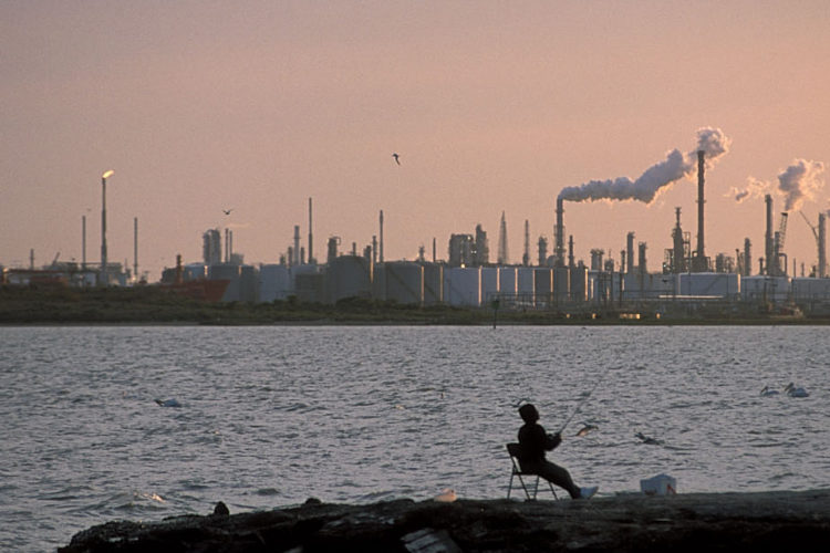
The literal lynchpin of the proposal would be an expansive set of gates stretching across the opening of the bay from the Bolivar Peninsula to Galveston Island. These gates would normally be open, but would be closed before hurricanes make landfall to protect communities and the nation’s largest petrochemical complex from storm surge and then reopened once the storm surge threat has passed. But could these gates—even when open—slow the emptying of the bay if we saw a repeat of Harvey-style flooding from extreme rainfall?
People on Bolivar and Galveston will still face some level of risk to flooding from storms and rainfall, even those behind the levees and floodwalls. The proposed plan includes a ring levee with a series of pumping stations around the densely populated area of Galveston. But Harvey-style flooding could create drainage capacity challenges as rain stacks up behind the levee until it can be pumped out. The proposed coastal barrier plan will no doubt require more complex flood management and coordination during storms—making the threat of a man-made catastrophe during a storm very real if any part of the system fails.
Where is the corporate responsibility?
This plan has taxpayers shouldering the burden for protecting incredibly profitable petrochemical facilities. Protecting these facilities is incredibly important, as significant damage to these facilities could be devastating to public health, the economy and the environment.
However, as we saw during Hurricanes Ike and Harvey, these companies are not doing enough to protect their own facilities from increasingly intense storms fueled by climate change. In exchange for a taxpayer-funded protection system, all companies located on the coast that use or store hazardous materials should be required to better fortify local facilities and to be responsible for clean up.
Is there a better way?
Storm protections based on restoring or enhancing natural features like dunes, oyster reefs and wetlands can provide meaningful storm protections without risking the ecological health of the bay. In fact, one recent study found that large-scale oyster and wetland restoration projects were the most cost-effective way to reduce storm risks in the Gulf. The study estimated projects like these on a large scale could reduce flood damages by $50 billion over a 20-year period. These types of protection measures would help to support wildlife in Galveston Bay, benefit the fishing and tourism economy, and improve the overall quality of life for residents.
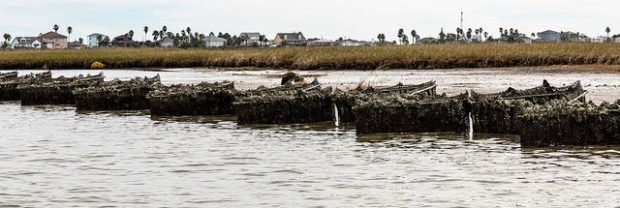
The current proposal does not consider alternatives that focus on natural solutions alone or in combination with more localized structural solutions for storm protection in critical areas. This could be a safer way to plan for the overall health and longevity of our state’s most ecologically productive bay system.
ACT NOW
