


We have much more to do and your continued support is needed now more than ever.
How Outdated Wetlands Maps Threaten Wildlife
A New U.S. Department of Agriculture Rule Could Harm the Prairie Pothole Region
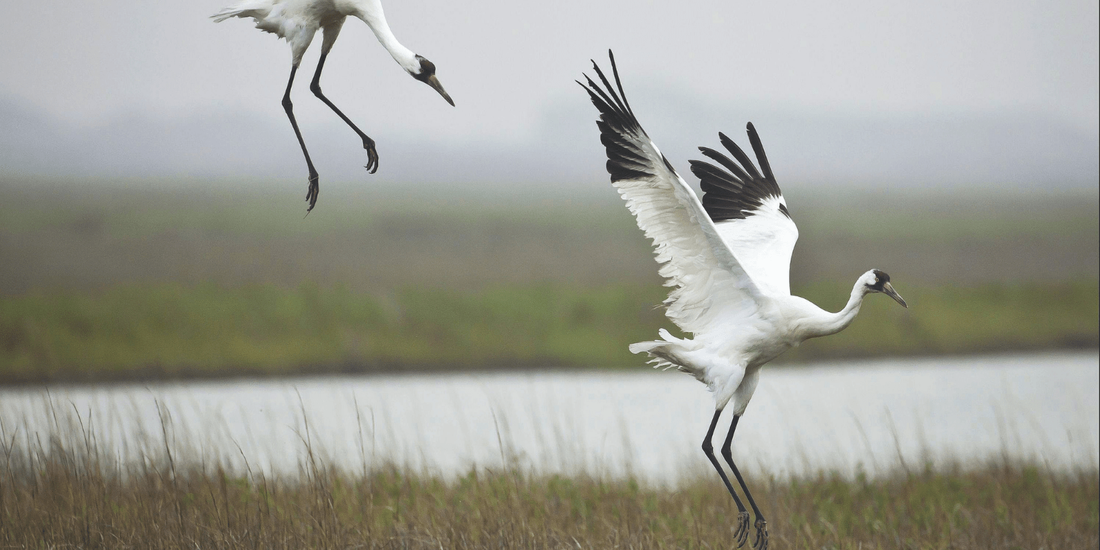
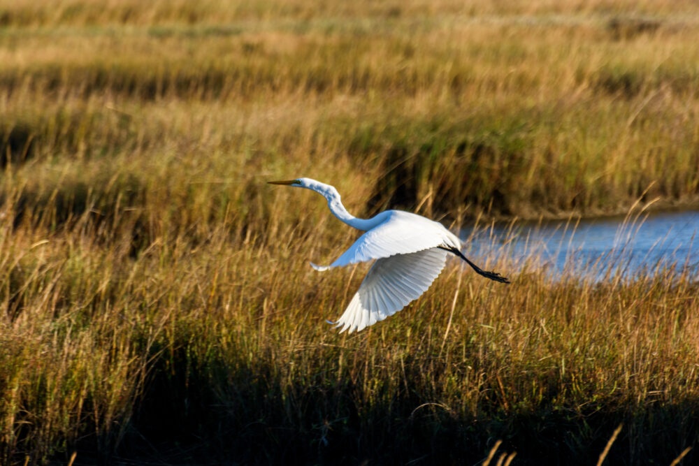
Whooping cranes like wetlands, marshes, mudflats, wet prairies and fields. Credit: Diane Nunely.
A rule announced by the United States Department of Agriculture (USDA) undermines the very existence of many of the habitats that birds like the whooping crane need to survive. The USDA’s interim final rule promotes the exclusion of seasonal wetlands—those that fill up in the spring from snowmelt and rain, but dry up later in the year—from the Farm Bill’s wetland conservation safeguards, encouraging additional wetland drainage in the Prairie Pothole Region and beyond.
The rule undermines protections for these more seasonal wetlands by systematically excluding them from protection. In this rule, the USDA approves the use of old, inaccurately drawn maps that were rejected or discounted for decades due to their inaccuracy. They also allow the use of weather data from a historically dry range of years decades ago, and aerial maps taken at the hottest time of the year. Together, these practices will miss many seasonally flooded wetlands—excluding many seasonal wetlands from Farm Bill wetlands protection and potentially harming habitats for millions of birds.
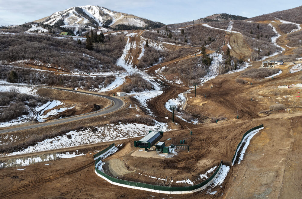
With well over half of the Northern Great Plains’ “prairie pothole” wetlands already drained, this bad wetlands rule could have devastating effects to the remaining areas in America’s “duck basket,” where the majority of waterfowl nesting occurs and millions of waterbirds stop to feed during migration.
It’s not too late to save this critical wildlife habitat that purifies our water, reduces flooding, recharges aquifers, and provides critical habitat. But we need your help and your voice on this critical issue. Tell the USDA to withdraw the rule that systematically overlooks the presence of seasonal wetlands and the many benefits they provide to local communities and wildlife.
TAKE ACTION