


We have much more to do and your continued support is needed now more than ever.
Western Rivers at Risk
Snapshot of western rivers highlights challenges for people and wildlife
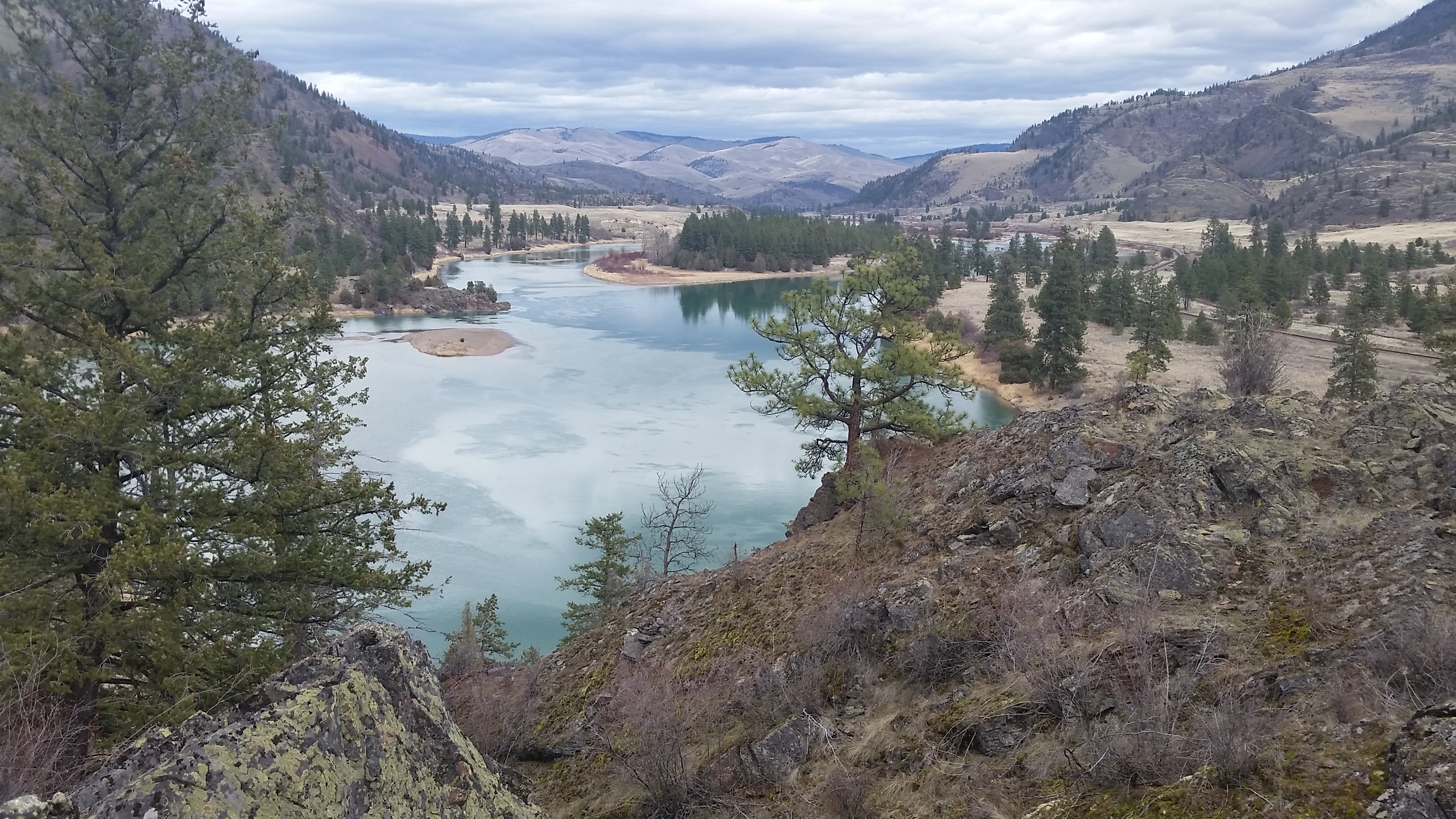
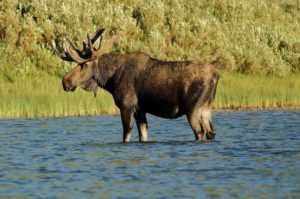
Like many western rivers, the Lower Flathead River in western Montana is altered by a dam, adjacent development, and diversions for irrigation and other uses. Photo by Sarah Bates
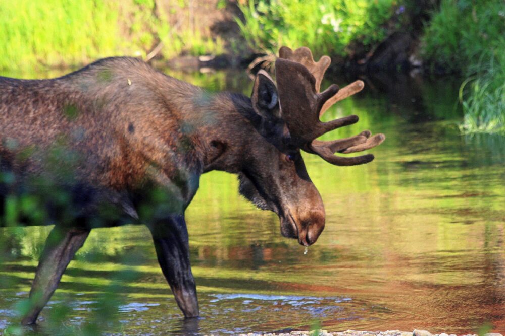
Water–or the lack of it–defines the American West. One commonly used marker that you’ve crossed into the western part of the country is the 100th Meridian, which bisects the Great Plains. On the east side of this imaginary line, most crops can be grown with natural rainfall; to the west lie the arid and semi-arid lands that require irrigation. Most of this irrigation comes from hard-working rivers that flow from high western mountain ranges, fed by winter snow. These rivers also provide drinking water for western cities, essential habitat for fish and wildlife, and valuable recreational opportunities that draw people to this region.
In short, western rivers work hard and are under enormous pressure from warming temperatures and increasing demands. As highlighted in a new report and interactive map released by the Center for American Progress (CAP), nearly half of all river miles in the West have been modified from their natural state (dammed, diverted and otherwise altered), leaving modern day rivers as “fragmented and impaired versions of their former selves.”
This alarm is hardly new–Marc Reisner alerted millions to the folly of development without regard to natural limits in his 1986 book, Cadillac Desert: The American West and its Disappearing Water, and scientists have been telling us for the past decade that water is the delivery mechanism for climate change in the West–but CAP’s scorecard provides a sharp reminder of the extent of this development and the urgency of addressing harmful impacts.
The National Wildlife Federation’s strategic plan recognizes these threats and articulates actions we’re taking to restore aquatic ecosystems, secure sufficient streamflows for fish and wildlife, and address impacts of water development projects. Our agenda is ambitious, as is justified by the scale of the challenges we are facing.
Here are a few examples of how we are working with diverse partners to address the risks and impacts to western rivers:
– Pursuing long-term solutions to the decline of salmon and steelhead impacted by hydroelectric development in the Columbia River basin, including the options of removing the four most destructive dams on the Lower Snake River.
– Advocating for restoration of beavers in western headwaters, the high-elevation tributaries that provide water to larger rivers. Beavers’ dam-building activities slow down rainwater runoff and snowmelt, replenishing groundwater and providing essential streamflows during the dry months in late summer and fall to sustain year-round habitat for fish and wildlife. As an added benefit, these delayed flows help farmers and boaters downstream.
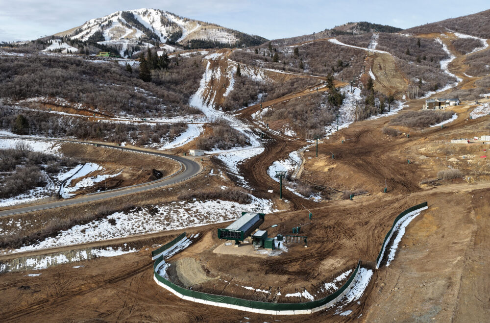
– Supporting legal protection for sensitive headwaters in National Forests–including collaborative solutions such as the Mountain Accord which includes wilderness designation in the Wasatch Mountains supported by Salt Lake City utilities and other diverse stakeholders.
– Protecting and restoring streamflows through science-based policy reform through the Texas Living Waters Project, a partnership between NWF, Sierra Club and Galveston Bay Foundation.
While the CAP report paints an alarming picture of altered rivers in the West, it is important to recognize that the same human ingenuity and ambition that created these problems can be redirected to solving them.
For example, Montana’s Blackfoot River, cited in the report for its heavily altered tributaries, is home to the Blackfoot Challenge, a conservation-landowner collaborative that has achieved substantial restoration of land and water over the past 25-plus years of hard work.
Similar stories of innovative partnerships are featured in Climate Chaos and Local Resiliency: Water Solutions in the American West, a report of the Carpe Diem West water leadership network, of which the National Wildlife Federation is an active participant.
We applaud the Center for American Progress for compiling important and timely information in this report, and we look forward to addressing these challenges with long-term solutions that will benefit the fish, wildlife and people of the American West.
Fast Facts: Western Rivers
- 140,000 river miles in the West have been damaged by human uses.
- The average length of a river in the West has been reduced by 84 percent due to dams and other obstructions.
- 82 percent of major rivers have been disrupted and damaged by human development.
- Watersheds in the West with the most rivers support 717 percent more outdoor recreation spending than those with the fewest rivers.
- Rivers that run through protected lands in the West are on average 50 percent more natural than rivers that flow through unprotected areas.
