


We have much more to do and your continued support is needed now more than ever.
Oxford Living Shoreline – Where Innovation Meets Community Science
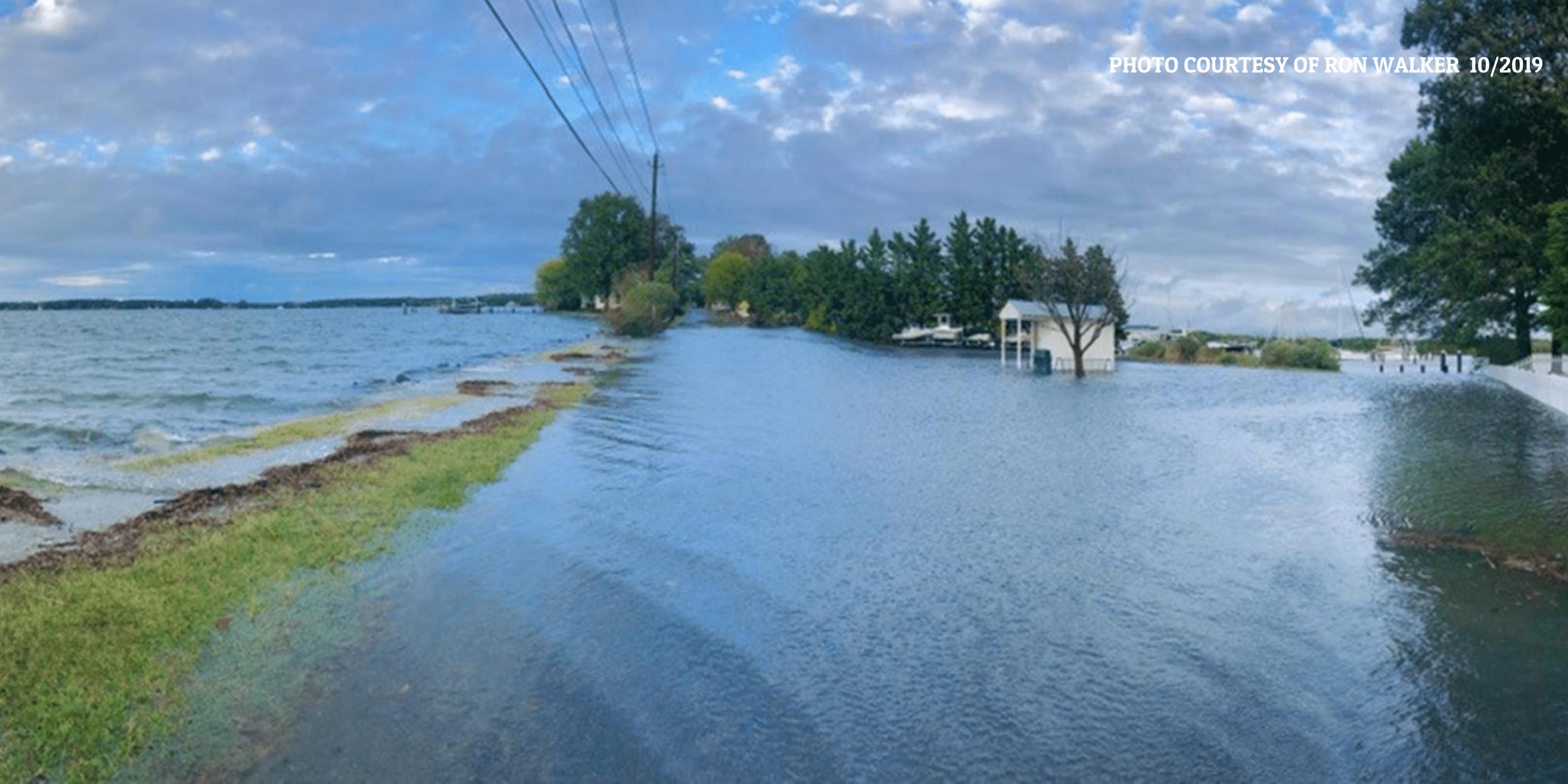
Sunny day, high tide flooding documented in the Town of Oxford that effectively inundates infrastructure and disconnects an entire peninsula from the mainland. Photo by Ron Walker.
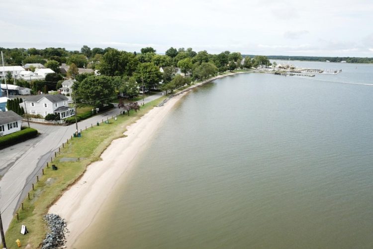
The Town of Oxford is a vibrant small town on the Eastern Shore of Maryland. This area forms a peninsula sandwiched between the Choptank and Tred Avon River’s of the Chesapeake Bay, offering beautiful views and various water-based activities like sailing, kayaking, and fishing. Oxford attracts thousands of visitors each year for events such as the annual Oxford Day where people come from all over to celebrate this small port town.
Since the Town is surrounded by water, as climate change leads to warmer ocean temperatures and rising sea levels, local planners will need to make some major changes over the next few decades to keep the community afloat. Oxford already suffers from sunny day flooding, a phenomenon that has been occurring in many places around the world due to sea level rise.
As the water rises, infrastructure that was built to a certain height previously considered safe is becoming flooded more and more frequently. Oxford is located along tidal rivers where high tides now flood local roadways multiple times a year; this problem will only get worse.
This area in the Chesapeake Bay is projected to suffer from 2 feet of sea level rise by 2080, even if moderate greenhouse gas emissions reductions are achieved. The science suggests that that figure will be much higher if we do not cut emissions of carbon dioxide very quickly.
Two additional feet of water may not sound like much, but without implementing measures to adapt to this rise, entire roadways and buildings will become permanently flooded. Check out this neat tool that the National Oceanic and Atmospheric Administration (NOAA) developed to view how sea level rise will affect the United States (link to: https://coast.noaa.gov/digitalcoast/tools/slr.html). Zoom in to the Town of Oxford, Maryland, and you will see what I’m talking about (Figure 1).
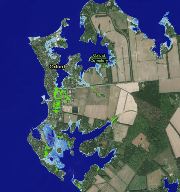
The light blue areas will be completely drowned in the near future if adaptation measures, such as living shorelines, are not put in place. Photo by NOAA Sea Level Rise Viewer.
So, what are we going to do about this? And what can coastal Towns like Oxford do to adapt to these major climatic changes? The National Wildlife Federation can help! Some of the issues we have discovered when it comes to climate change adaptation are lack of community capacity to plan for and implement resilience projects, lack of funding or lack of expertise to get the job done right.
The National Wildlife Federation’s Coasts Team is working with communities in need to develop innovative wildlife-friendly solutions to these problems. For instance, we are partnering with the Town of Oxford and the Maryland Department of Natural Resources with funding from the National Fish and Wildlife Foundation to implement living shorelines in areas that will increase available wildlife habitat, reduce flooding, and provide more resilience to major storm events.
Living shorelines use soft shoreline stabilization techniques, like beach replenishment and grass plantings, in contrast to hard infrastructure approaches that are commonly used such as bulkheads & seawalls, to stabilize a shoreline. These hard, walled solutions lead to significant loss of the intertidal habitat necessary for many species of wildlife to survive.
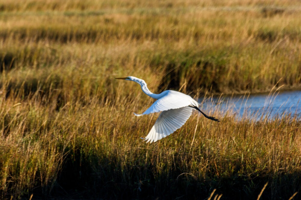
Animals like terrapins and horseshoe crabs need access to sandy, intertidal, beach habitat to lay their eggs. This type of coastal habitat is dwindling, but it doesn’t have to be this way. Living shorelines can fare better in major storm events than bulkheads, they don’t have to be replaced every 20 or so years, and they can be very cost-effective.
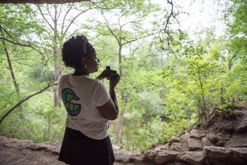
How can you help communities implement solutions to adapt to the climate crisis, like living shorelines? I have one idea! The National Wildlife Federation, in partnership with the Town of Oxford and the Maryland Department of Natural Resources, is looking for volunteers to conduct community science surveys at two future living shoreline sites in the Town.
We plan to document horseshoe crabs and terrapins to determine how these animals are using the current shorelines and how they respond to living shoreline projects that will increase available wildlife habitat. The surveys will occur in May and June, they will be rather simple and fun to conduct, and we will provide training to all volunteers. If you are interested in joining us for these surveys, please reach out to Amanda Poskaitis at poskaitisa@nwf.org or 443-842-7529.
