


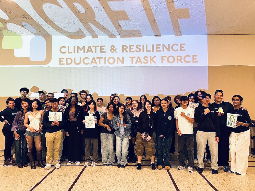
We have much more to do and your continued support is needed now more than ever.
Journey Through the Canyons of Grand Staircase Escalante National Monument
In late April of this year, the Trump Administration issued an Executive Order to “review” national monuments established in the last 21 years, despite the President’s campaign promises to fulfill the legacy of Theodore Roosevelt. The review targets Utah’s Grand Staircase Escalante and another 26 monuments, which include irreplaceable habitats at risk of being shrunk or eliminated, opening up lands and waters to the threat of oil and gas development or being turned over to private interests.
These are photos from my trip into Coyote Gulch, which begins in the Grand Staircase Escalante National Monument and traverses into the Glen Canyon National Recreation area. By far, this is one of my favorite locations in the counrty. Coyote Gulch, and the Grand Staircase Escalante at large, have the protections of a National Park, but the undeveloped wildness of the West is still intact. No crowds, no infrastructure, no concessionaires- just untrammeled human and natural history. Minimal development and precise grazing practices established under the National Monument status will keep this American treasure as is in perpetuity.
Coyote Gulch, located southeast of the town of Escalante, drains a large portion of the GSE National Monument. At this point, the terrain is open enough for animal migration. Harsh as it is, large mammals know their ancient routes between secret sustaining watering holes. Unobstructed by development, the delicate and precise ritual of migration in this unforgiving climate ensures the sustenance of the GSE NM wildlife.
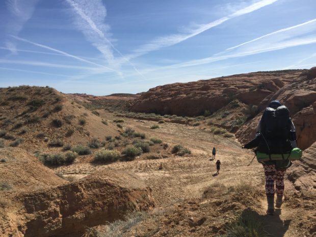
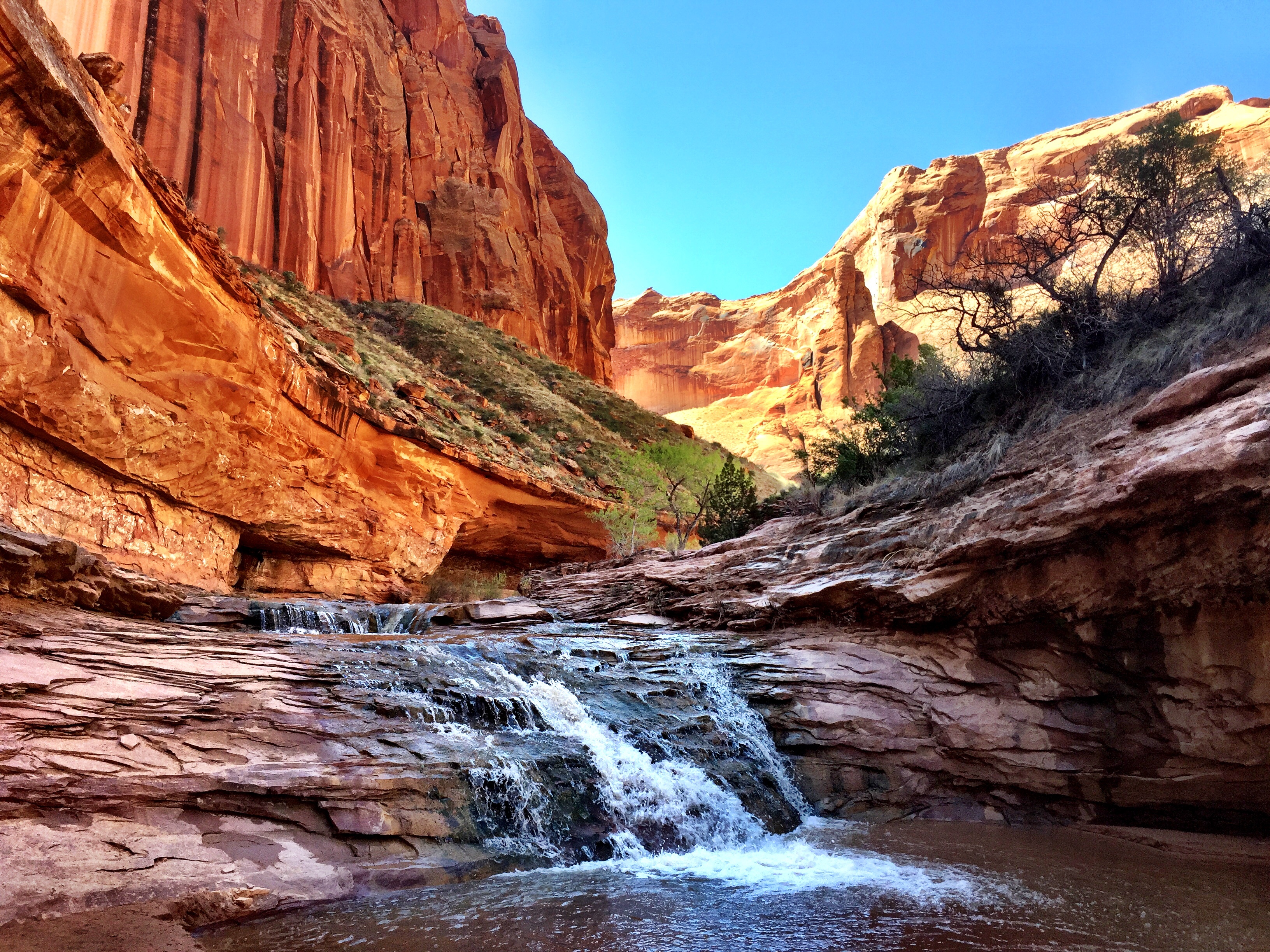
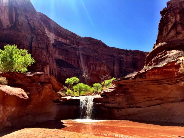
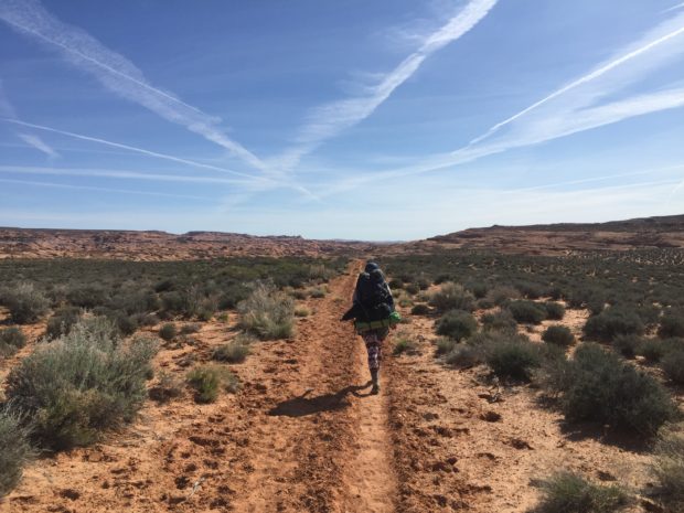
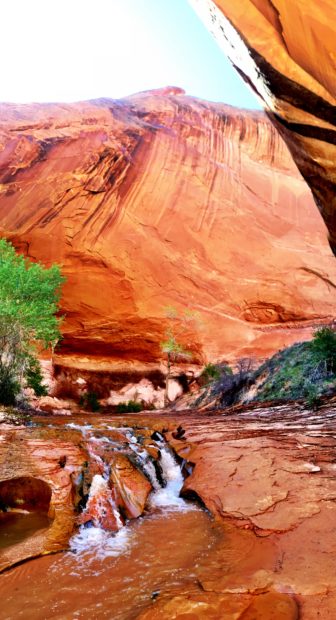
My hiking partner and I set out across the desert on the Red Well trail. The GSE NM serves as a pristine collector of the area’s most valuable resource- clean water. Minimal disturbance from well managed cattle grazing keeps this vast landscape one of the West’s best watersheds. The waters flow fast during the monsoons and eventually join to carve these washes. Billions of years of these hydrologic patterns made Big Hollow Wash, seen here.
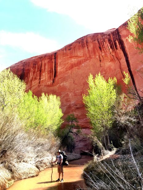
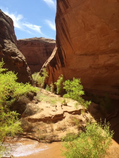
These waters that collect in shady cracks in rock eventually join in the main stem of Coyote Gulch. The waters collected above in the National Monument nourish a delicate ecosystem sheltered in the gulch. Vegetation that cannot survive on the plateaus above sustains a rich diversity of wildlife.
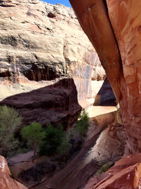
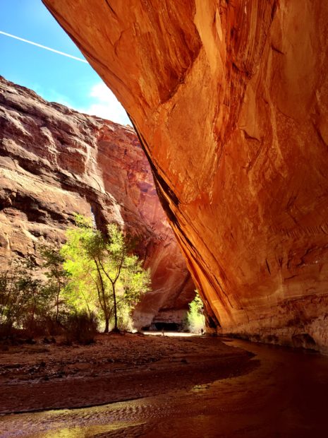
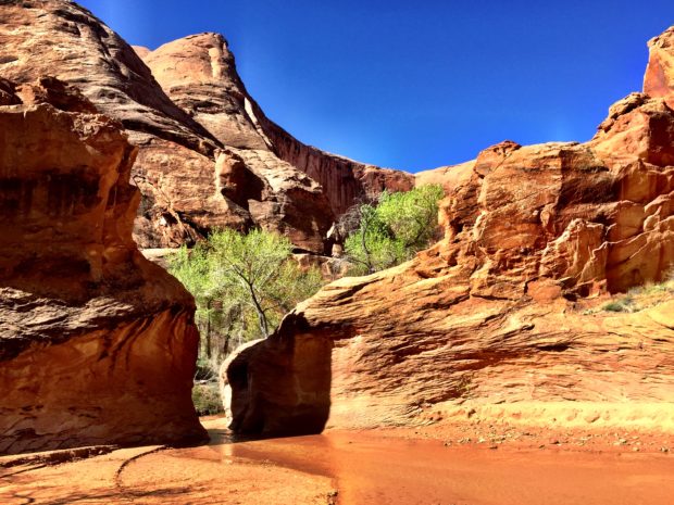
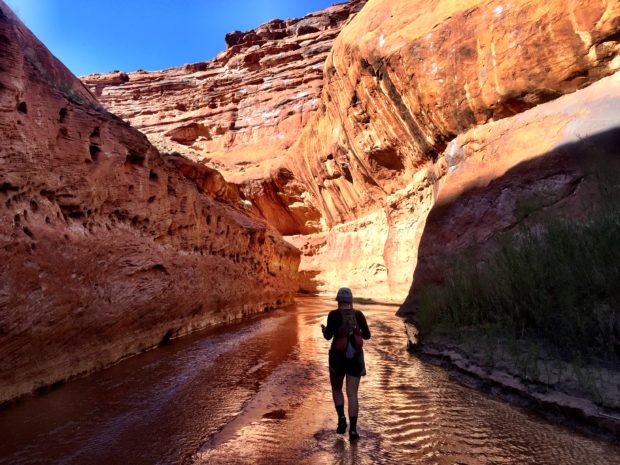
Soon the wash becomes a strikingly deep and narrow canyon.
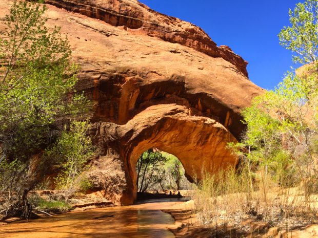
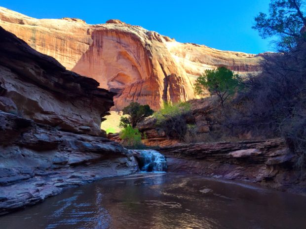
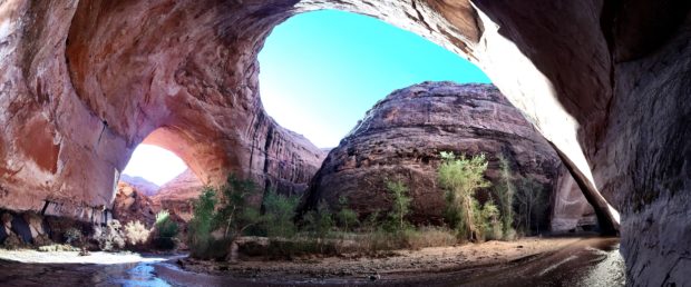
This is the scarpment just before Jacob Hamblin Arch where we would camp. You can see a person in the bottom right for scale.
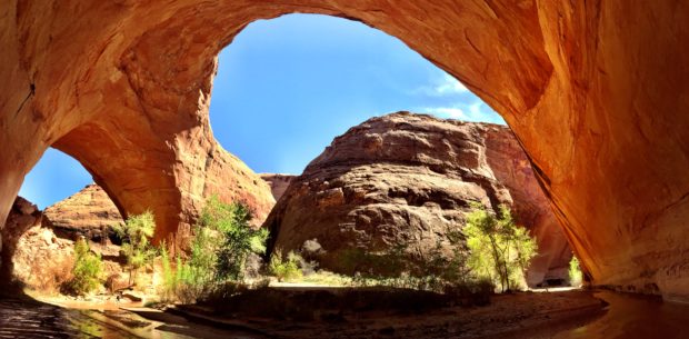
Jacom Hamblin arch and our camp site on the sandy peninsula. Another person is visible on the bottom left for scale.
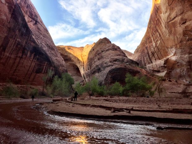
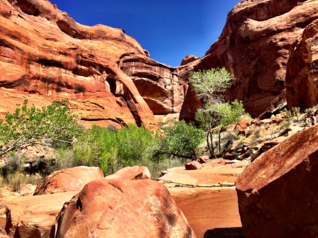
Looking back down on our camp site from the arch, we head off to the Escalante River for the day.
The first bend in the gulch after Jacob Hamblin Arch. This rock formation in the center is the bridge above the arch. Wildlife use these bridges to reach water below.
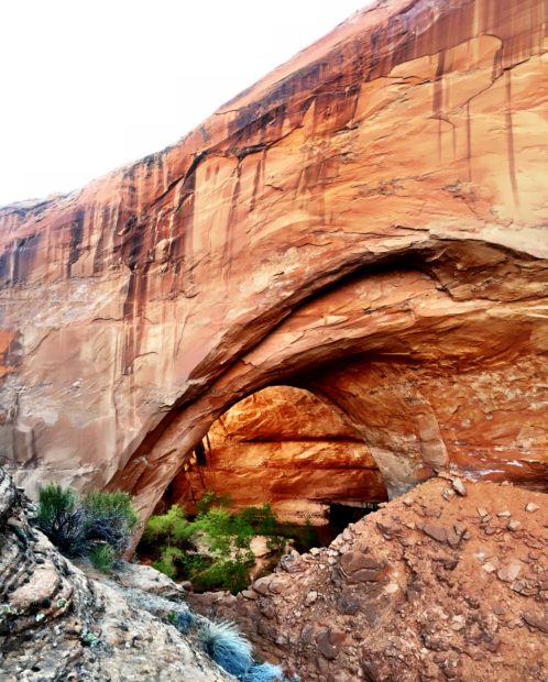
Looking back on Jacob Hamblin arch.
Keyhole Falls.
The formation of a very narrow canyon. What will this look like in 1 million years?
Two hikers rest in the shade of Coyote Gulch Natural Bridge.
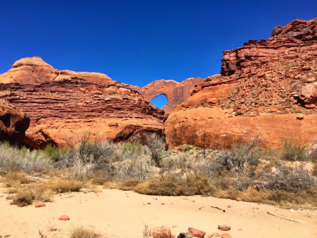
Cliff Arch or Jug Handle Arch.
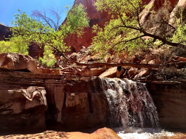
One of many waterfalls.

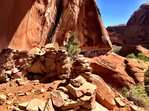
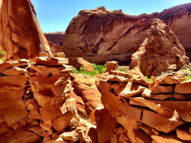
Anasazi Cliff Dwellings.
Not a bad view. Undoubtedly, these ancient peoples chose used this home site for the abundance of water and plant and animal sustenance.
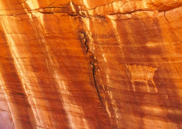
A pictograph of local wildlife. Perhaps a sheep or pronghorn?
Local watering hole.
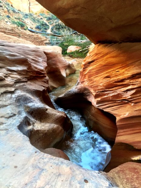
The forces of gravity and moving water carving a canyon.
Just before the Escalante River.
Eventually Coyote Gulch meets the Escalante River. You are greeted by Stevens Arch and the sandy shores of the Escalante River.
There are so many other places to explore in the GSE NM proper and it’s conjoining Glen Canyon NRA. Seemingly limitless opportunities for exploration abound. I encourage anyone, go… experience these American treasures and understand for yourself the value of our public lands and protected places.
