


We have much more to do and your continued support is needed now more than ever.
Global Warming Changing the Face of Chesapeake Bay
 If this Memorial Day weekend mirrors the last, about 350,000 people will cross the Chesapeake Bay Bridge, many to begin enjoying the ocean and bayside beaches of Virginia, Maryland, and Delaware. Unfortunately, more than half of those beaches hang in the balance, as global warming accelerates sea-level rise and drastically alters the region’s coastline, according to a new study by National Wildlife Federation.
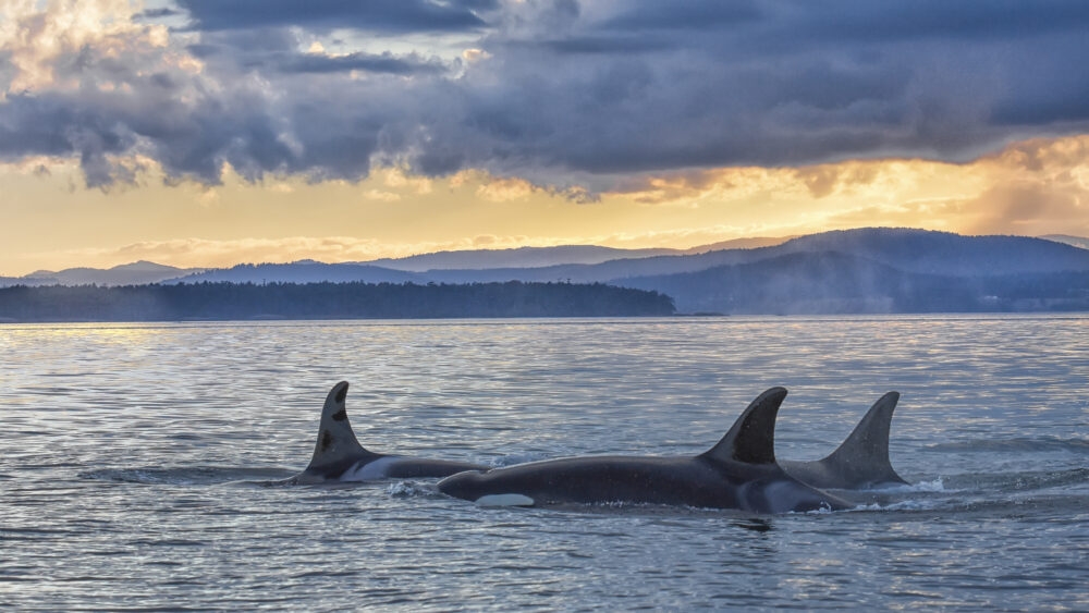
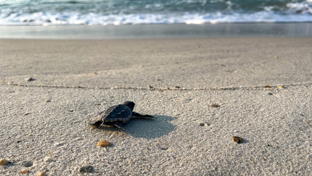
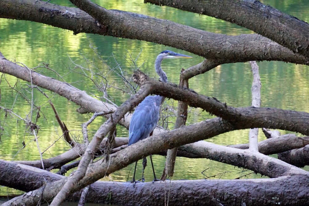
National Wildlife Federation’s new study, "Sea-Level Rise and Coastal Habitats of the Chesapeake Bay," maps in vivid detail the dramatic effects of sea-level rise on the nation’s largest estuary, which sustains more than 3,600 species of plants, fish, and animals including great blue herons and sea turtles.
This national treasure and the economy it supports may be unrecognizable within the lifetime of a child born today if global warming continues unabated. Projected rising sea levels will significantly reshape the Chesapeake Bay’s coastal landscape, threatening waterfowl hunting and recreational saltwater fishing in Virginia and Maryland that contribute roughly $725 million to the region’s economy. Seafood lover’s take note: Chesapeake Bay waters produce some 500 million pounds of seafood worth billions of dollars each year, including blue crab, rockfish and eastern oyster.
We’ve spent years working to save the bay, but unless we address global warming, it could all be lost. No single silver bullet will save the bay from the effects of global warming. We need action at all levels of government.
The most imperiled places are also the most valuable for fishing, waterfowl hunting, bird watching and playing on the shore: Blackwater National Wildlife Refuge, the barrier islands of Tangier Sound, and Virginia’s Eastern Shore and the Lower Tidewater region, including Norfolk and Virginia Beach.
The study also projects that more than 415 square miles of open water will replace undeveloped dry land and marshes – an area roughly equivalent to Fairfax County (Virginia), slightly smaller than Montgomery County (Maryland), or the size of Rocky Mountain National Park – based on a global sea-level rise of just over two feet (well within the range projected this century).
This analysis goes well beyond simple inundation modeling. It documents for the first time the many landscape and habitat changes that will occur along the entire bay coastline if global warming continues unchecked.
Cutting global warming pollution two percent per year to meet an 80 percent reduction goal by mid-century will be necessary to avoid the most damaging effects of climate change, according to leading scientists. National Wildlife Federation is calling on federal and state officials to take measures to meet this goal by enacting legislation that cuts global warming pollution.
We don’t have time to waste. Our children and grandchildren are counting on us to protect what is important – including that Memorial Day trip to enjoy the shores of the Chesapeake Bay.
Sea-level rise maps and report details are available at www.nwf.org/chesapeake
