


We have much more to do and your continued support is needed now more than ever.
From Pre-Construction to Post-Construction: A Commentary on Adaptive Management

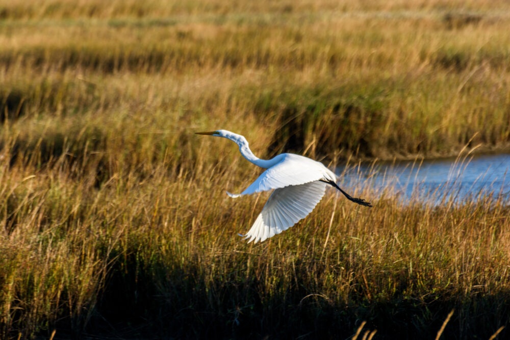
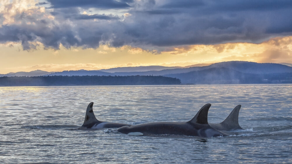
Coastal vegetation planting at Havre de Grace, MD. Credit: NWF Staff
National Wildlife Federation’s Mid-Atlantic and Northeast regions support and promote restoration through the implementation of natural and nature-based solutions (NBS). These restoration techniques focus on using native vegetation to replicate and bolster naturally occurring conditions to respond to climate impacts such as erosion and increased flooding. Nature-based solutions can be used as an alternative approach to using “gray infrastructure” such as seawalls and bulkheads.
While there are benefits to using both green and gray approaches, our projects focus on the co-benefits provided to both communities and wildlife as a result of using nature to enhance resilience. How do we measure the benefits of nature-based solutions? We participate in pre- and post-construction monitoring to evaluate success and determine whether any changes need to be made, in a process known as adaptive management.
What is Adaptive Management?
What do you think of when you hear the term adaptive management? Do you think of being flexible in the face of changing conditions? Do you think of post-construction monitoring? Adaptive management can be defined as “a decision process that promotes flexible decision making that can be adjusted in the face of uncertainties as outcomes from management actions and other events become better understood”.
As NWF celebrates the completion of the Town Of Oxford and the City of Havre de Grace’s two living shoreline projects in Maryland, we’re now in the “what’s next?” phase. What does post-construction monitoring look like? How will the shorelines adapt to high tides, and what kinds of storms will hurricane season bring in the Fall? Will the plants survive?
This is adaptive management: understanding that projects will undergo changes due to environmental conditions, and using monitoring data from these changes and outcomes to adjust a project accordingly to make sure that it is still meeting the intended goals.
Using Monitoring to Inform Adaptive Management
Each project undergoes pre-construction monitoring, which involves wildlife surveying for birds and aquatic species. Engineering surveys include topographic and bathymetric surveys, categorizing the existing vegetation on site and analyzing the hydrologic conditions. If a site has submerged aquatic vegetation (SAV), efforts will be taken to identify the SAV and the extent of the vegetation before construction occurs, as SAV can provide valuable habitat for aquatic life and insects.

With the 60% living shoreline design nearly final, surveying and monitoring proved vital in determining the location, extent, and shape of the erosion control project at Minary’s Dream Alliance.
Bathymetry surveys conducted on site helped us determine that the water was actually six feet deeper than anticipated! Survey teams quantified tidal marshes and other existing vegetation to document the environmental conditions pre-construction and plan for mitigation in the design of the living shoreline.
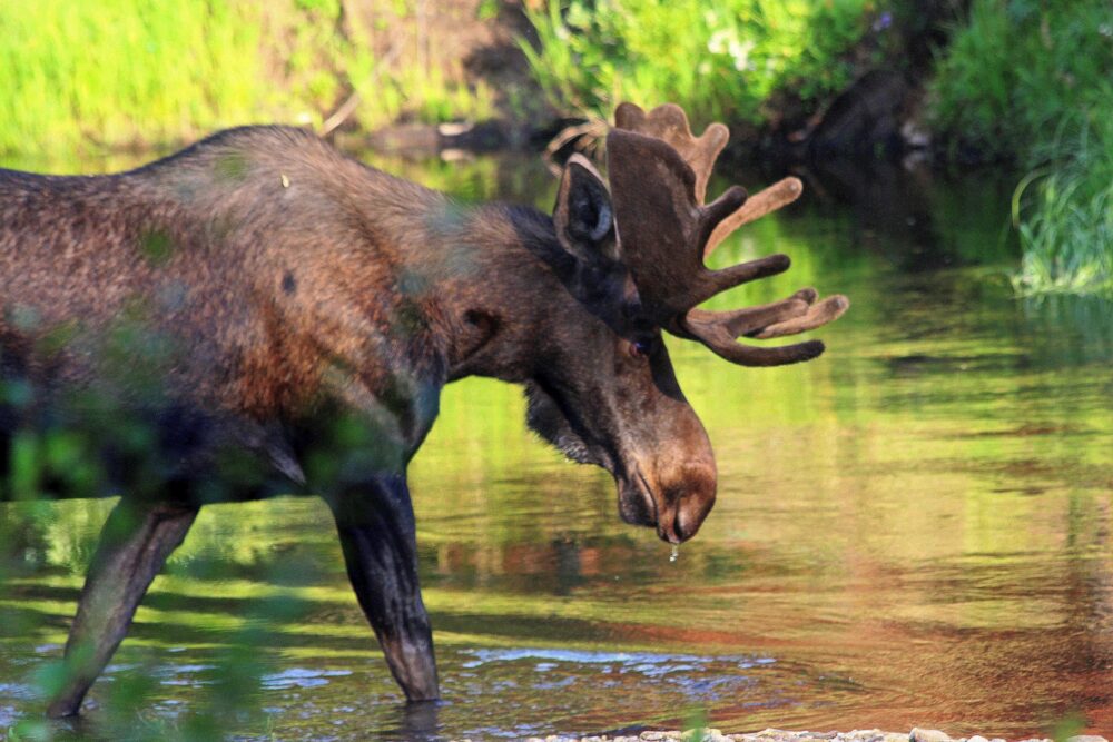
By understanding the base conditions of the site, we are able to better quantify and understand the benefits of the project post-construction. Additionally, National Wildlife Federation participated in two bird and wildlife surveys, where we catalogued over 40 bird species, including a Baltimore oriole! We also saw a black rat snake, watersnake, and a turtle nesting area in the garden. Upon construction of the living shoreline, we will participate in post-construction surveying and monitoring, to determine if the new habitats created are encouraging greater wildlife diversity.
Adaptive Management in Practice: What’s Next?
Post-construction, the same project monitoring occurs, but this is where adaptive management comes in. In studying the vegetation and wildlife, what changes are we noticing? How dense is the vegetation, and is the vegetation all native plants, or have invasive species crept in post-construction? Did the high tide flooding cause the shoreline to shift, or is water pooling on site after a tidal or storm event?
Based on the results of the data we collect, we can use the information to make informed decisions about the project. For example, if a site continues to experience vegetation die-off in one spot, but not others, what protective measures can be taken? Should the soil and gravel mixture be modified? Do we simply need to water the plants more often in the first year? Should we replant?
Many of the community partners we work with choose to conduct monitoring at their sites for at least five years to better understand long-term how a site is responding to current and changing environmental conditions. They use this data and work with construction partners to evaluate whether a project is meeting its intended purpose, and if not, make modifications to the constructed project.
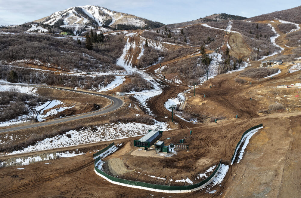
Havre de Grace, MD

Phase 3 of Havre de Grace’s Water St restoration project culminated in a ribbon cutting held on July 31, celebrating the completion of construction of the unique, deep-water living shoreline that was designed to replace a failing bulkhead.
Typically, in high wave, deep-water environments, it is common to see hardened (or gray) infrastructure, such as bulkheads and rip rap, put in place to reduce shoreline erosion. For the Water St project, the City of Havre de Grace elected to install a living shoreline instead, aiming to demonstrate that living shorelines can be just as effective in attenuating wave energy and reducing erosion as other methods.
The City’s shoreline maintenance team will work with BayLands Consultants and Designers to monitor the project moving forward and ensure that it is meeting its intended goals. Part of this monitoring and post-construction maintenance will include the re-seeding of SAV—native seeds will be collected from the Susquehanna flats ecosystem and planted at the toe of the shoreline.
Vegetation monitoring will occur into the future, as the team evaluates how the project responds to both tidal and precipitation-based flooding. Monitoring Havre de Grace will also provide valuable insight into the health of the Susquehanna Flats ecosystem.
Oxford, MD

With construction of the living shoreline and vegetated islands now complete, post-construction monitoring will be led by the Maryland Department of Natural Resources and the Town of Oxford.
The Resiliency through Restoration monitoring program assesses vegetation cover, soil content, and elevation. MD DNR has also set up a MyCoast Restoration Tracker stand at Strand Beach to allow community members and project managers to capture photos of the shoreline in the same place over time to visually record how the shoreline is adapting.
Additionally, when submitting photos to the Restoration Tracker, the person submitting can answer questions about the vegetation, erosion, flood conditions, wildlife, shoreline structures, and human impacts. This data allows project managers to make decisions based on certain goals, such as erosion prevention and habitat creation.
The Town is also planning on hiring two community liaison specialists to amplify the results of the project and facilitate knowledge transfer of best practices with other communities.
Get Involved

Adaptive management looks different for every project. Sometimes long-term monitoring data shows that the project is functioning exactly how it’s supposed to, but without intentional monitoring, it would be difficult to observe project trends and make changes accordingly.
Monitoring not only allows for data collection and analysis, but can help create a sustainable dialogue between team members and provide a mechanism to ensure long-term project success. If you would like to learn more about how NWF monitors projects, or sign up to be a part of our monitoring events, please email Kate Vogel, vogelk@nwf.org.
Additionally, many states in the Northeast and Mid Atlantic use the app called MyCoast, or similar tools to document flooding, king tides, restoration projects, or the places we love. By downloading apps like MyCoast, you can contribute to science, help identify new project opportunities, and inform adaptive management by participating in long-term project monitoring.
